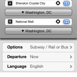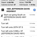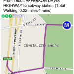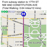
This past weekend Sarah and I were in Washington, DC. Neither of us had been there in years, but we were able to navigate flawlessly all weekend. We traveled by foot, Metro, and cab, and never once had to ask for directions or look like lost tourists. How did we do it? HopStop’s amazing iPhone app!
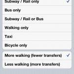
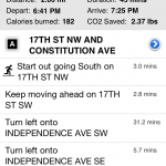
If you live in or near New York you may already be familiar with HopStop. It is a website and service that lets plug in a starting and ending address, then select how you wish to get there: train service, bus service, taxi, more walking/less transit service, all walking. You can email, text, or print the directions, which get spit out in plain English, with a listing of what subway stops you’ll pass, etc. While the header gives you distance traveled, the individual steps are listed in minutes, which I personally think is easier in a new area. Most people can’t eyeball “walk 1/2 a mile” easily but “walk for 10 minutes” is much more universal.
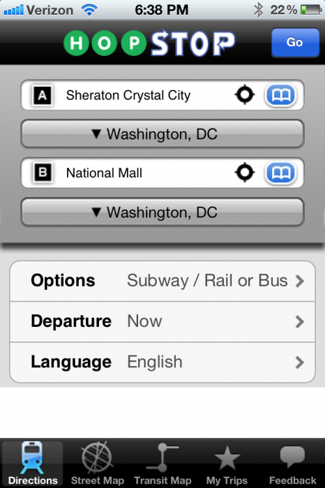
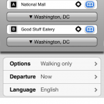
HopStop has expanded from New York to multiple metropolitan areas, and using it in DC was a breeze. The app is very fast, and once your directions are rendered you are all set. I kept a careful eye on my status bar and battery life, and I didn’t see GPS being used once the directions were delivered. The best part is that because it uses GPS, you can select Current Location as a starting point, a service I found to be extremely accurate. You can also plug in keywords and names and the app automatically finds the address. For example, on Saturday evening we wanted to go to the National Mall. I hit “Current location” as the start and “National Mall” as the endpoint. HopStop guided us from our hotel to the Metro, off the Metro, and then provided walking directions to the Mall. We even had an estimated travel time!
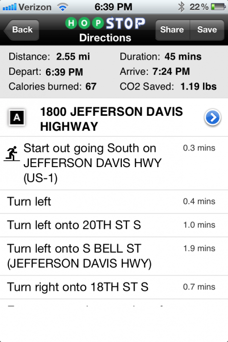
Later on, we used HopStop’s walking directions to get to dinner. Again, “Current Location” and the name of our destination restaurant was all we needed, and we had clear, easy to follow directions. The app estimated 40 minutes for a 2-mile walk, and that was pretty accurate. What I also loved was that I could flip back, hit “Current Location” again, and redo the directions as we walked. This let us check that we were still heading the right way as well as see how much farther we had to go. Everything about the app is laid out cleanly, and it was extremely easy to pull out my phone, tap a few buttons, and be on our way without spending 20 minutes fiddling with Google Maps or trying to understand a transit map.
The only area where HopStop isn’t very accurate is the taxi cost estimator. I tried it and it gave me an estimate of $9.85 for a taxi ride that cost closer to $15.00. To be fair, it looked like HopStop was pulling the data from one taxi company and we used a different one. It is also possible the cab driver took a different route, was stuck at a light with the meter running for longer, or had a surcharge for two passengers, none of which HopStop could predict. So as a ballpark the taxi cost estimator wasn’t terrible (and it did provide a cab company’s number), but I wouldn’t assume that it will be dead-on accurate.
Overall, my experience with HopStop this weekend has been phenomenal. The directions have been accurate, the time estimates nearly perfect, and the ability to explore and feel like I had a native guide in my pocket was invaluable. If you live or plan to visit one of their supported cities, this is a must-download. I had downloaded a DC Metro app, and didn’t launch it once the whole weekend; HopStop was my one stop app for all things navigation and I would not have had such a great weekend without it!
MSRP: Free on iTunes
What I Like: Simple interface; Fast search; Keyword searches accepted; multiple transportation options
What Needs Improvement: Cab fare was inaccurate

